Replacement Dwelling on a Surface Water Flow Route — Drainage Strategy Praised by the Council

The challenge
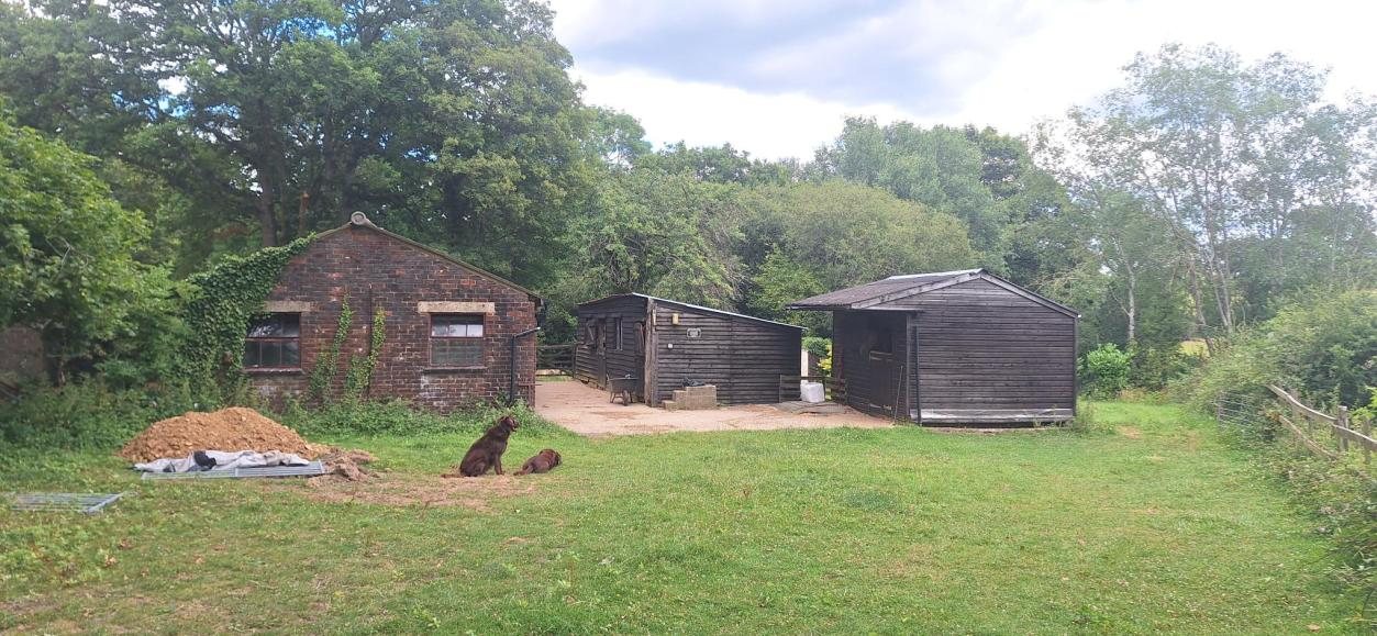
The site is in Flood Zone 1, so a planning FRA was not formally required — but the Environment Agency's surface water map shows a flow path running through the eastern part of the farmyard alongside an ordinary watercourse, and the council's drainage consultee picked it up. Rather than deal with drainage by condition, the officer asked for a full foul and surface water drainage strategy and a site-specific assessment of flood risk before the application could be determined, and set out a long list of what it had to contain.
The ground did not help. The site sits on Weald Clay, there is no public sewer within or adjacent to the site, and the only outfall is a small watercourse that can surcharge in wet weather. Every step of the drainage hierarchy had to be tested with evidence, not assumed.
What we did
We began with the flood risk, because it fixed the floor level. Interpolating the Environment Agency's surface water extent against the topographical survey gave a design flood level of 27.45 mAOD beside the proposed dwelling in the 1 in 100 year event with climate change. We recommended a finished floor level of 27.75 mAOD — 300 mm freeboard. The existing barn thresholds sat at or just below the flood level, so the replacement dwelling is a clear improvement on both the current building and the consented Class Q fallback.
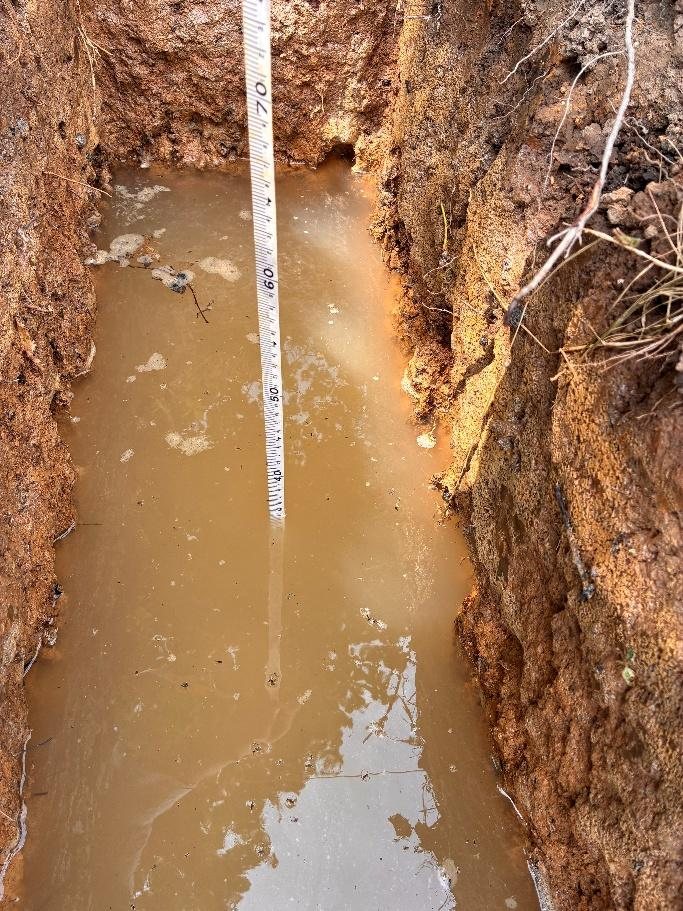
Infiltration came next. BRE 365 testing in the Weald Clay returned 4.29 × 10⁻⁷ m/s — soakaways were not viable — and the water company's asset records confirmed there were no sewers to connect to. That left a controlled discharge to the watercourse, which we designed from the ground up.
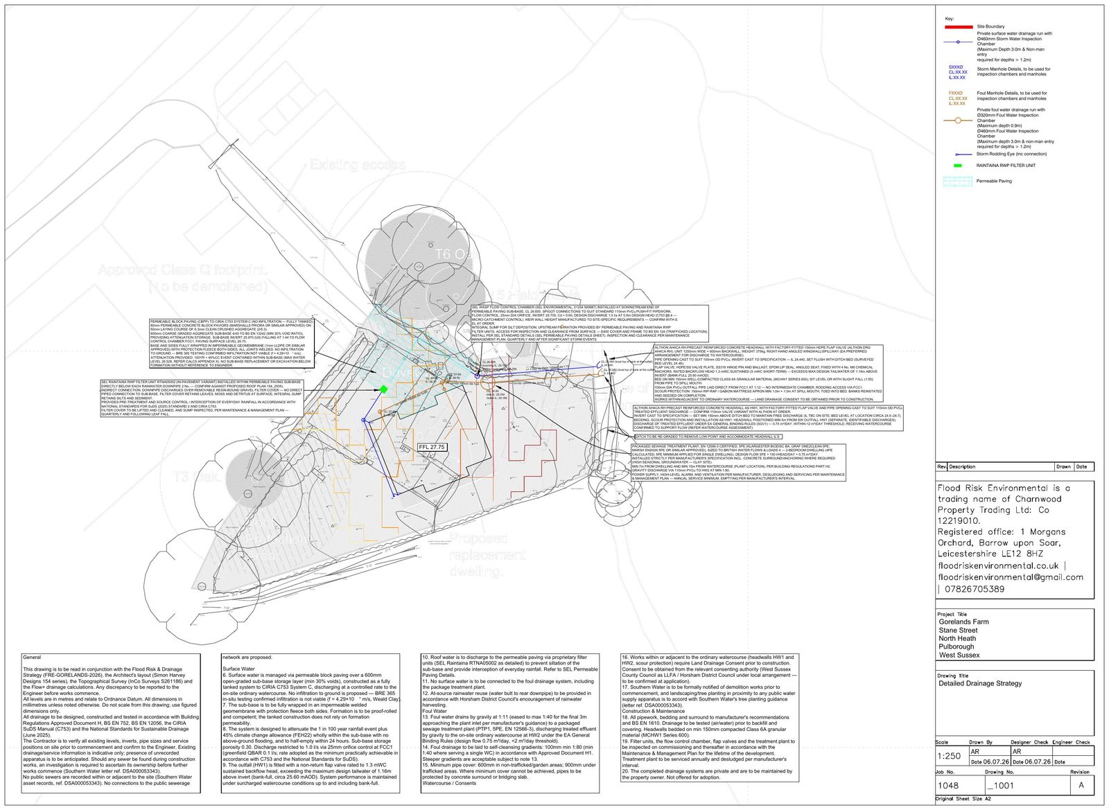
All of the impermeable area — 234.8 m² of roof and drive, plus 10% urban creep — drains into a fully tanked (CIRIA C753 System C) permeable paving construction with a 600 mm sub-base, giving about 19.7 m³ of storage. Discharge is restricted to 1.0 l/s, the minimum practically achievable against a greenfield QBAR of 0.1 l/s, through a 25 mm orifice in a proprietary flow control chamber, to a precast headwall with a factory-fitted flap valve. Causeway Flow+ modelling with FEH22 rainfall showed the 1 in 100 year plus 45% climate change event contained wholly within the sub-base with 172 mm of headroom, half-emptying in 144 minutes.
Because the consultee had flagged that the outfall may be submerged during events up to the 1 in 30 year, we assessed the surcharged case against surveyed channel geometry: the orifice invert sits above the design tailwater, and the flap valve is rated to 1.3 m head against a maximum design tailwater of 1.16 m. Foul drainage goes to a 5PE package treatment plant discharging under the Environment Agency's general binding rules.
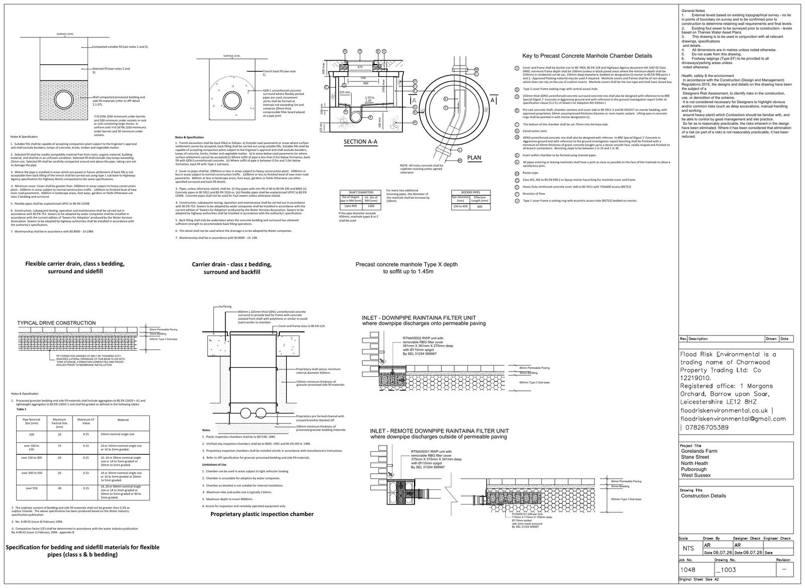
The report closed with a long-term maintenance plan and a Statement of Compliance table that took every requirement in the consultee's letter — site-specific flood risk, existing and proposed flow paths, pre- and post-development areas, greenfield rates, the drainage hierarchy, BRE 365 evidence, the watercourse assessment, the three containment tests — and pointed to the paragraph or drawing that answered it.
The outcome
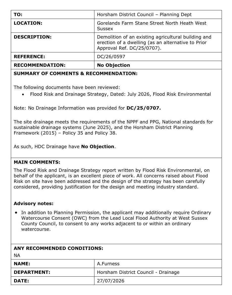
A single document that answered the consultee's request in full, ahead of determination, without a further round of questions. The council's drainage officer returned a formal response of No Objection with no conditions recommended, and said this:
“The Flood Risk and Drainage Strategy report written by Flood Risk Environmental, on behalf of the applicant, is an excellent piece of work. All concerns raised about flood risk on site have been addressed and the design of the strategy has been carefully considered, providing justification for the design and meeting industry standard.”
— Horsham District Council — Drainage consultee response, 27 July 2026 (No objection, no conditions)
The applicant got a scheme that is buildable as drawn, a floor level that protects the house, and a drainage system that can be maintained by the householder for the life of the building.
If you are in the same position. Drainage consultees increasingly refuse to leave drainage to condition on small sites with a mapped flow path or a difficult outfall. The way through is a strategy that tests the hierarchy with real evidence — infiltration testing, sewer records, a surveyed watercourse — and answers the officer's letter line by line.
Related services
All Services & Resources
Everything you need for flood risk, drainage and environmental planning consultancy across England and Wales.
Flood Risk
Drainage
Other Services
Areas Covered
Frequently Asked Questions
Need a Flood Risk or Drainage Consultant?
Planning-ready FRAs and SuDS drainage strategies across England and Wales. Free quote within 24 hours.
Get a Free QuoteOr contact us directly: 07826 705389 •